Exploring Subsurface Structures: The Power of Borehole Imaging
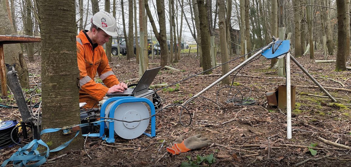
Understanding the complexities and intricacies of subsurface formations is invaluable for various sectors, including oil and gas, mining, and environmental studies. As the demand for precise and detailed information grows, the role of advanced technologies like borehole imaging becomes increasingly critical. These technologies provide a window into the earth, enabling scientists and engineers to visualize and analyze formations with unprecedented clarity. Borehole imaging is not merely a tool for current demands; it represents a pivotal advancement in the understanding of geological formations, offering insights that were once beyond reach.
What is Borehole Imaging?
Borehole imaging is a technique used to obtain detailed images of the walls of a borehole. This method involves the use of advanced instruments to capture the geological features and structures within the borehole, providing a comprehensive understanding of the subsurface environment. The images produced are akin to a photographic representation of the borehole walls, revealing crucial data about the structural and lithological properties of the formations.
Applications of Borehole Imaging
The applications of borehole imaging are vast and varied, playing a critical role in several fields:
- Oil and Gas Exploration: Borehole imaging is essential in identifying and characterizing reservoirs. It helps in making informed decisions regarding drilling and extraction.
- Mining: In mineral exploration, imaging provides detailed insights into ore bodies, assisting in efficient and effective extraction strategies.
- Geotechnical Engineering: The technique aids in the evaluation of rock and soil stability, essential for safe construction practices.
- Environmental Studies: Borehole imaging assists in the assessment of aquifers and the monitoring of groundwater contamination.
Technologies Behind Borehole Imaging
Several technologies power the effective functioning of borehole imaging systems. These include:
- Acoustic Televiewer: Utilizes sound waves to create images of the borehole walls, effective in both conductive and non-conductive formations.
- Optical Televiewer: Provides high-resolution, true-color images of the borehole walls, ideal for detailed structural analysis.
- Magnetic Resonance Imaging: Offers detailed insights into the porosity and permeability of formations.
For a deeper understanding of Borehole Imaging, exploring various solutions and advancements in these technologies is recommended.
Benefits of Borehole Imaging
The advantages of employing borehole imaging are numerous and transformative:
- High-Resolution Data: Offers detailed and accurate representations of subsurface conditions.
- Enhanced Geological Understanding: Facilitates a deeper understanding of geological formations, aiding in more informed decision-making.
- Cost-Effective: Reduces the need for extensive coring and sampling, leading to significant cost savings.
- Real-Time Analysis: Allows for immediate assessment and decision-making during drilling operations.
Integrating Borehole Imaging into Subsurface Analysis
Integrating borehole imaging with other geophysical methods can significantly enhance the quality of subsurface analysis. By combining data from various sources, geologists and engineers can construct a more complete picture of the subsurface environment. This holistic approach is crucial for developing effective strategies in exploration and resource management.
Future Trends in Borehole Imaging
As technology continues to evolve, the future of borehole imaging looks promising. Innovations in sensor technology, data processing, and image analysis are expected to further refine the capabilities of borehole imaging, making it an indispensable tool in subsurface exploration. Continuous research and development in this field will undoubtedly lead to even more sophisticated and efficient imaging solutions.
